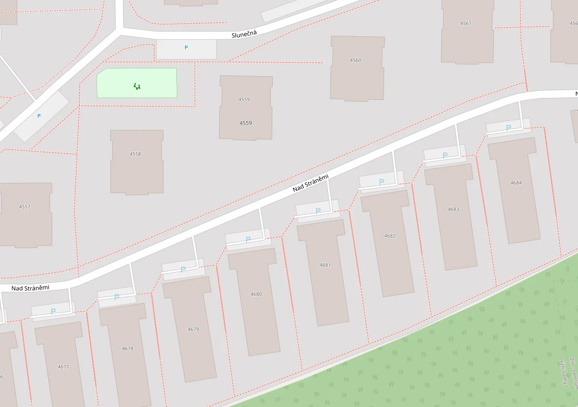
Back to collection🍀#1850🍀#1851🍀#1852Monday, 6 May 2024 at 10:41:23GPS49°13'53.1"N 17°39'41.6"E0Location🍀 is outside the location polygon (9 m from the edge).50 m#00040🇨🇿Czechia·ZlínMapDetailNad Stráněmi — top — up by no. 4681 — right of the tree, in front of the manhole covers, by the bollardLocation area232 m²🍀 density11 🍀/100 m²Location rank36 of 249by 🍀 countTop locationsOrder at location🍀 10 of 251. 🍀|Previous 🍀Next 🍀|25. 🍀