#00057
REYKJAVÍK_MIKLABRAUT001
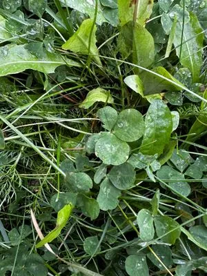
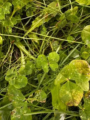
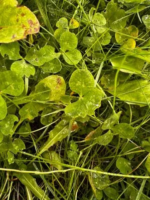
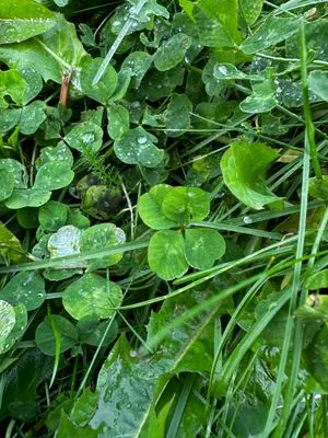
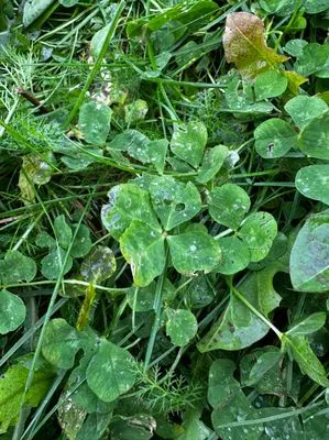
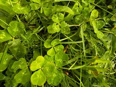
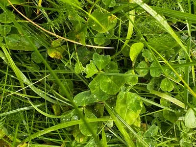
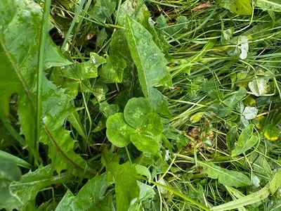
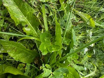
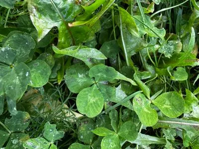
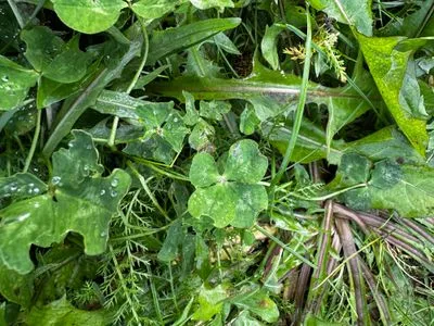
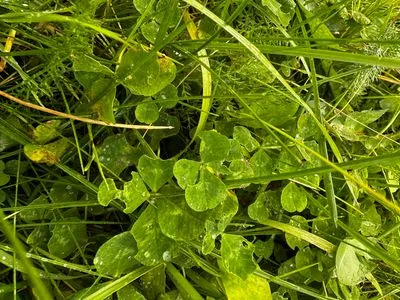
Island - po cestě na konferenci u cyklistické stezky
Iceland · REYKJAVÍK
Location map
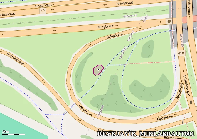
Summary
- Number of finds
- 278
- Date range
- Monday, 29 September 2025 – Wednesday, 1 October 2025
- Centre GPS
- GPS64°08'07.7"N 21°55'30.4"W
- Distance from map #00001
- 2,858.288 km
- Polygon area
- 53 m²
- Find density
- 52 🍀/10 m²(incl. sub-parts on parents)
- First find
- #14773Monday, 29 September 2025
- Last find
- #15050Wednesday, 1 October 2025